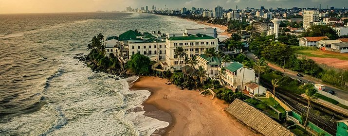
Mount Lavinia Beach
Dehiwala, Colombo District
About Mount Lavinia Beach
Dehiwala-Mount Lavinia (Sinhala: දෙහිවල-ගල්කිස්ස, romanized: Dehivala-Galkissa; Tamil: தெஹிவளை-கல்கிசை, romanized: Tehivaḷai-Kalkicai), population 245,974 (2012), is a large municipality in Sri Lanka, covering 2,109 ha (5,210 acres). It lies south of the Colombo Municipal Council area and is separated from it by the Dehiwala canal which forms the northern boundary of DMMC. Its southern limits lie in Borupana Road and the eastern boundary is Weras Ganga with its canal system and it includes some areas to its east (Pepiliyana, Gangodawila and Kohuwala). This town has experienced extensive population growth and rapid industrialisation and urbanisation in recent years. It is home to Sri Lanka's National Zoological Gardens, which remains one of Asia's largest. Colombo South Teaching Hospital, Kalubowila and Colombo Airport, Ratmalana are some important landmarks in this area. Dehiwela-Mount Lavinia and Sri Jayawardenapura Kotte being two large suburban centres of the city of Colombo function together as one large urban agglomeration in the Region (Western Province). The overspill from the City in residential and commercial uses of land has rapidly urbanised these suburban centres. Dehiwela-Mount Lavinia and Sri Jayawardenpaura along with Colombo Municipal Council form the most urbanised part of the core area of the Colombo Metropolitan Region. Dehiwala and Mount Lavinia lie along the Galle Road artery, which runs along the coast to the south of the country.
Source: Wikipedia — Dehiwala-Mount Lavinia (CC BY-SA)
Where is Mount Lavinia Beach?
Watch: Mount Lavinia Beach
Nearby Attractions
Other places worth visiting within easy reach.
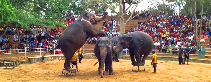 2.4 km
Dehiwala Zoological Garden
Dehiwala
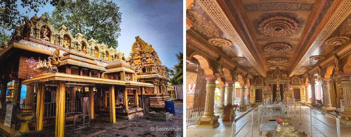 2.9 km
Sri Venkateshwara Maha Vishnu Moorthy Kovil
Dehiwala
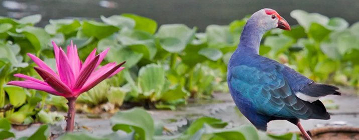 3.1 km
Attidiya Bird Sanctuary
Boralesgamuwa
 3.1 km
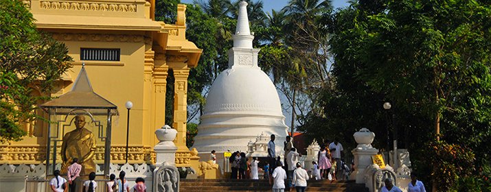
Bellanwila Raja Maha Viharaya
Boralesgamuwa
 3.4 km
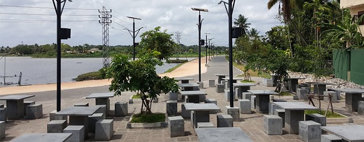
Bellanwila Park (Weras Ganga Park)
Boralesgamuwa
 3.6 km
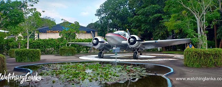
Sri Lanka Air Force Museum
Ratmalana
 3.8 km
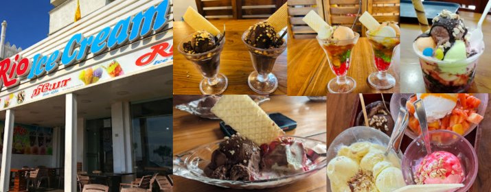
Rio Ice Cream
Colombo
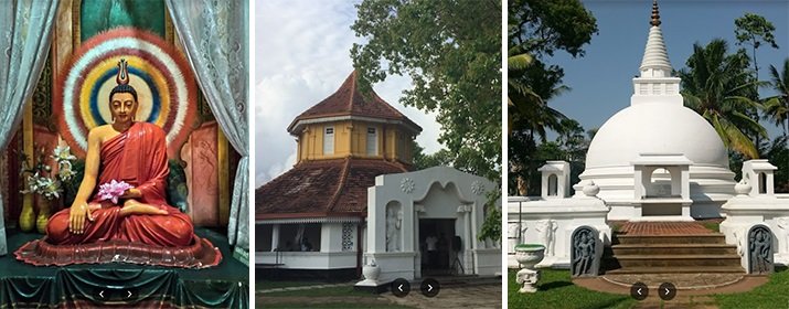 4.1 km
Balapokuna Purana Rajamaha Viharaya
Nugegoda
More places in Dehiwala
More Beaches in Colombo
Planning a trip to Dehiwala?
Build a day-by-day itinerary or get a realistic budget before you go, both take less than a minute.
Move from island-wide discovery into regional guides, districts, towns and individual places.